

Lake Oconee Homes in Eatonton and Putnam County | Western Shore Real Estate Guide
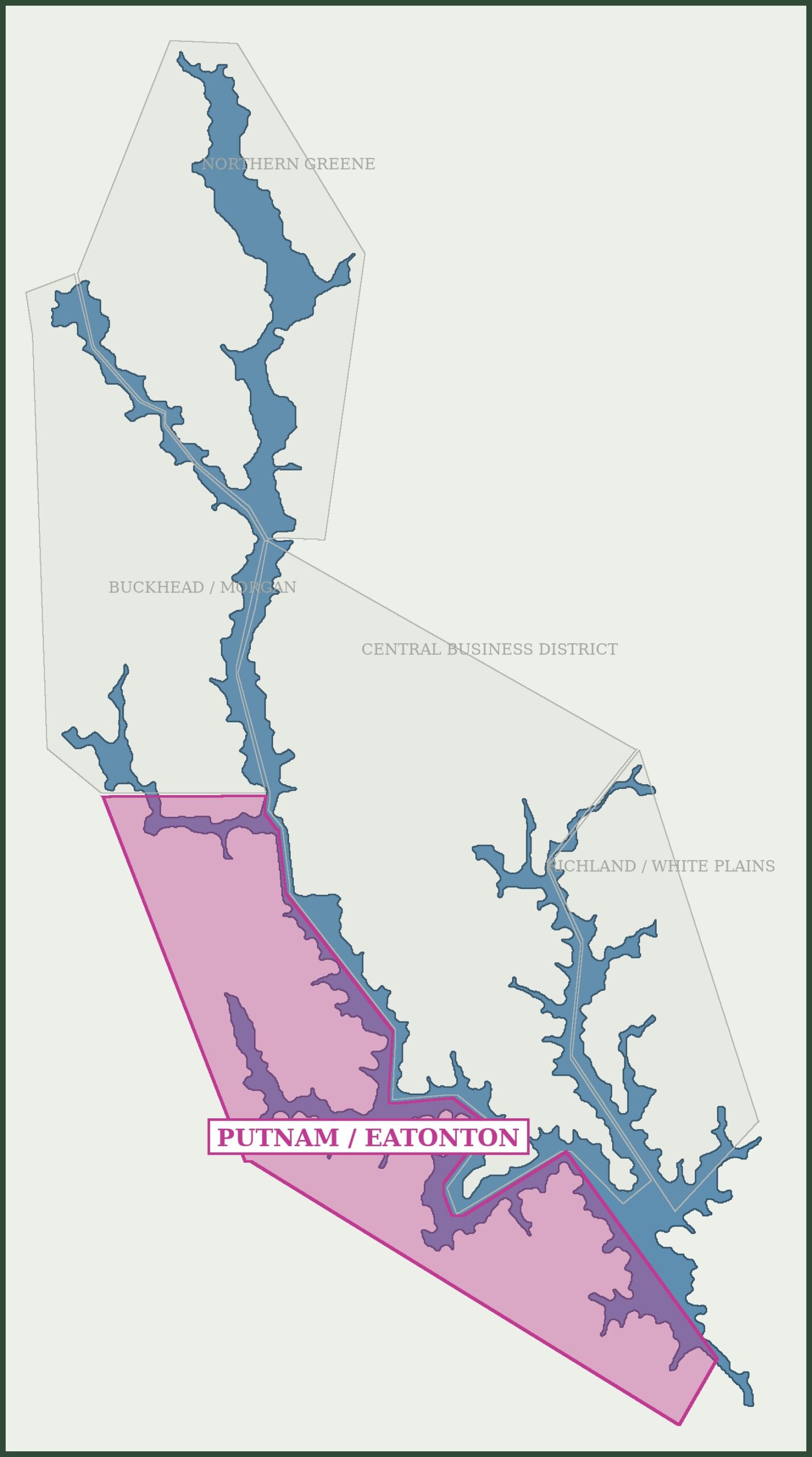
For buyers searching specifically for Lake Oconee homes in Putnam County and Eatonton, this western shore corridor covers a large expanse of Lake Oconee from Sugar Creek south to Wards Chapel and Wallace Dam. An abundance of neighborhoods make up this corridor, ranging from gated luxury equestrian living to well-established, value-priced interior lots. Neighborhoods to the south, as the dam comes into range, are known for their deeper and clearer water. The more northerly Putnam County subdivisions to the north and up to Sugar Creek are well known for their proximity to both large open water in the south and fantastic fishing habitats in the north. The full Putnam county side of Lake Oconee is perfectly balanced for all types of water activities.
Why This Side of the Lake Stands Out
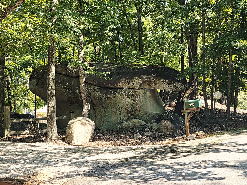
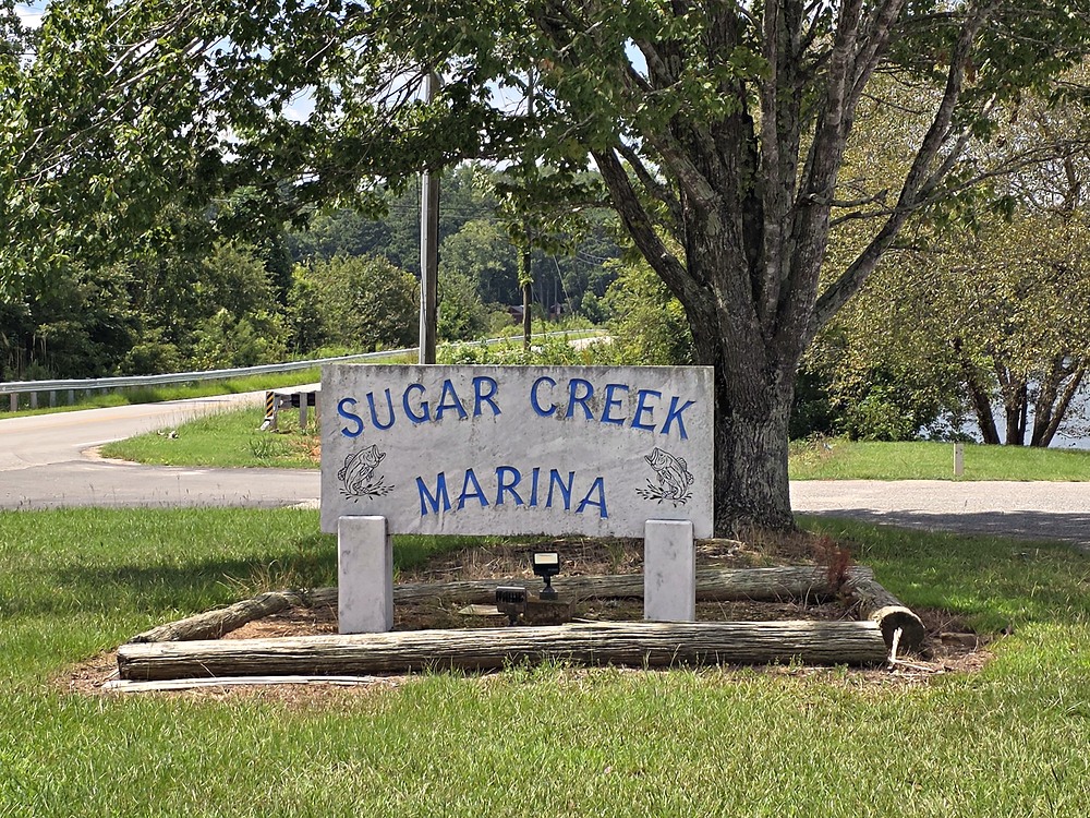
The defining feature of Putnam County’s southern corridor, from Spivey Road south, is water quality and depth. Because this stretch sits nearest the dam, the water here runs deeper and clearer than in many other parts of the lake — Lake Oconee averages 21 feet deep but plunges to more than 100 feet near the dam itself, a real, tangible difference buyers notice the moment they’re on the water. Many of these communities also look directly across the water at Jumping Rock, a roughly 10-foot rock formation suspended over the lake at the bottom tip of the Reynolds Lake Oconee proper peninsula — one of the most recognized recreational landmarks on the lake, where boaters from all over anchor to watch or take part in the jumping. That stretch of peninsula is among the most beautiful on the entire lake and is understood to be protected from development, which means the view from this side should stay much as it is today. To the north, from Sebastian Cove (covered on the Lake Oconee Commercial District page) up to Sugar Creek and Parks Mill Rd, the lake is open and wide. This area is a thoroughfare for fishermen headed to and from the popular recreational grounds and fish habitats of the north. It is also a very popular watersports area for the young families of Reynolds Landing. Sugar Creek Marina is not only a stocked marina store with bait and fishing supplies, it is also a popular spot for weekenders to put their boats in and store their trailers.
Quick Facts
| County | Putnam County |
| Gated | Varies — Waters Edge is gated; most others are open, non-gated neighborhoods |
| Typical price range | Varies widely, from competitively priced wooded lots to high-end luxury estates |
| Water characteristics | Deep, clearer water for properties in proximity to Wallace Dam, gate to amazing fishing and watersports in the north |
| Notable nearby landmark | Jumping Rock in the south, visible across the water at the tip of the Reynolds peninsula, understood to be protected from development. Sugar Creek Marina in the north. |
| Zoning | R-1, similar in spirit to the LR1 zoning on Greene County’s eastern shore, but with one major difference: short-term rentals are currently allowed here, subject to Putnam County’s rules |
Zoning and Short-Term Rentals: What Makes This Side Different
Most properties in this corridor sit within R-1 zoning — similar in concept to the LR1 zoning that governs the non-gated eastern shore in Greene County, but with one major, practical difference: short-term rentals are currently allowed here, subject to Putnam County’s specific rules and permitting requirements. This is a meaningful distinction for buyers weighing rental income potential, and it’s a question I get asked about often enough that it deserves its own full treatment.
The Communities
South
- Beaverdam on Lick Creek — Beaverdam Estates on Lick Creek is primarily a one road community on Lake Oconee called Hoot Owl Lane. This Putnam County neighborhood began development in the late 1980’s and is a well-established community far back on a quiet cove.
- Lake Oconee Plantation — A residential neighborhood in Putnam Co off Old Phoenix Road, just before the Wards Chapel intersection. Lake Forest Drive and Pine Circle are the two roadways making up this Lake Oconee subdivision.
- Chapel Springs — A premier, gated community off Ward Chapel – Chapel Springs and Mags Path are the main roads. This subdivision comes with excellent amenities including a neighborhood pool, playground, outdoor pavilion, and private boat ramp.
- Water Oaks — A left off Wards Chapel Rd by the old dairy arrives at Collis, a flat land community with a full build out of lakefront and interior homes mostly concentrated around Collis Circle. This is a very established subdivision with many full-time residents.
- Waters Edge on Lake Oconee — A premier gated neighborhood off Wards Chapel Road, next to Great Waters, that blends lakefront homes with horse properties, four-board fenced pasture and miles of riding trails.
- Riverbend — A desirable waterfront community off Spivey Road, made up of five small pocket communities along East and West River Bend roads – Riverbend Cove, Riverbend Estates, Horseshoe Bend, Journey’s End, and Oconee Crossing. All of these small sub-neighborhoods showcase a mix of classic lakefront homes and massive modern remodels in scenic, deep-water coves.
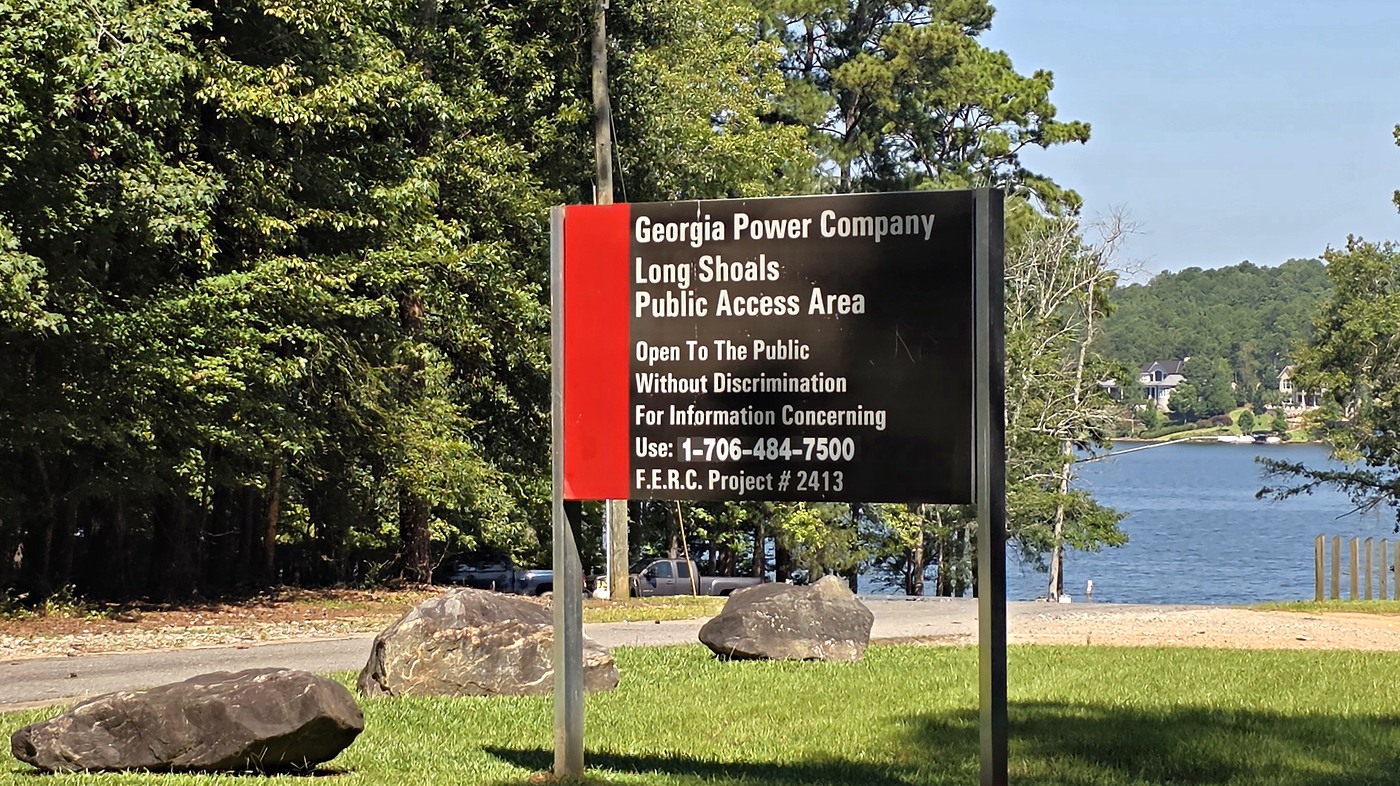
- Long Shoals Landing — An established, non-gated community on the southwest shore of Lake Oconee off Long Shoals Road, offering competitive price points and heavily wooded lots for buyers seeking value and natural privacy. Long Shoals Landing is the southernmost residential community on Lake Oconee.
- Long Shoals Crossing — A long established community tracing the winding Long Shoals Drive. Directly across the lake from the famous Jumping Rock. Long Shoals Crossing has beautiful wooded lots and homes that rarely come to market.
- Long Island Forest — A highly desirable subdivision consuming a large point tract of land on the southern shore of Lake Oconee. Non-gated and immediately adjacent to the Long Shoals public boat ramp.
- River Lake — River Lake has some of the most affordable homes on the southern shore of Lake Oconee. River Lake Drive wraps a massive, deep cove between Riverbend and Long Island Forest due south of Reynolds Lake Oconee.
- Timberlake Cove — A quiet, non-gated subdivision on the western shores known for deep water, mature hardwood trees, and beautiful custom lakefront homes, with close proximity to Jumping Rock.
- Rock Island — Rock Island Coves is a premier non-gated neighborhood on the quiet south side of Lake Oconee near the Georgia Power Dam. Rock Island is known for deep water and large luxury lakefront estates with panoramic main channel views.
North
- Harmony Bay — A gated subdivision of estate-sized lots off Harmony Road, primarily Craftsman-style single-family homes with both interior and several lakefront properties. Harmony Bay features a large number of shared amenities including a boat ramp, docks, pavilion, and playground.
- Sugar Creek Farms — One of the more affordable ways onto the water in Putnam County, set on the Sugar Creek arm with deep-water frontage and Georgia Power dock permits available on some lots. The neighborhood has an unusually full amenity package for the price point: a private beach, fishing pier, seawall boat tie-offs, a covered pavilion, and two private boat ramps.
- Arrowhead Landing — A small lakefront neighborhood built along Arrowhead Trail, known for quick big-water access. Lots run around an acre, with shoreline frontage reaching roughly 145 feet on some parcels, and the housing stock includes a larger number classic A-frame lake homes – a favorite for Lake Oconee flippers and remodelers.
- The Pointe — A neighborhood pocket basically just past Arrowhead Landing on the same road, The Pointe includes access to a community pool, boat/trailer storage, and a boat ramp.
- Oak Hill — Located at the far back of a cove just across from Sugar Creek Marina is Oak Hill, a heavily wooded and scenic pocket of homes, both older and new construction. Some interior lots have not been developed and are still for sale.
- Cedar Cove — Cedar Cove is situated along Cedar Cove Drive, a beautiful loop with two entrance/exits onto Parks Mill Road and excellent walkability. This neighborhood, of both on and off water homes, is one of the older subdivisions on Lake Oconee, with homes from the very early 1980’s.
- Hickory Point – Fawnfield — Hickory Point follows Hickory Point Dr NE to the far northern stretch of Putnam County, where the road becomes Fawnfield Drive continues into Morgan County. Though technically two neighborhoods they share the same entrance/exit on Parks Mill Road as well as all the same community traits all anchored to the same long, curvy roadway.
- Parks Mill Landing — The entrance to Parks Mill Landing on Putnam county’s Parks Mill Drive is located directly across the street from Sugar Creek Marina. This neighborhood, a mixture of original, newer, and renovated homes sits on a bluff overlooking Sugar Creek Island.
- Sugar Creek Landing — A quiet subdivision, Sugar Creek Landing does not offer direct Lake Oconee access. But with its low cost barrier to entry and its location right across the street from Sugar Creek Marina, residents can enjoy quick and simple access to everything Lake Oconee has to offer.
- Loch Haven — Loch Haven is off Greensboro Road on the Putnam side in route to Eatonton. Interior lots and new construction along the way in to waterfront houses, many of which have been recently remodeled.
- Whippoorwill Cove — Off Highway 44 on the Putnam side, first left over the last bridge heading toward Eatonton, and about five minutes from Publix. Four streets named for Second World War battles and two large subdivided points where the lots fan out in wedges to give each one its own frontage.
- Harmony Farms
- Meadowcrest
- Alexander Lakes — An interior neighborhood with one street of newer homes on big lots off Denham Road, out among the farms, with many backing up to one of two private lakes / ponds. Lake Oconee and Fish Tale Marina are about two miles away.
- Hunter’s Chase — One dead-straight half-mile street of newer homes on three-quarter-acre lots off Denham Road, next door to Alexander Lakes.
- Misty Grove
- Oconee Meadows — Oconee Meadows is a convenient, interior subdivision of Alexander Road. Quick access to all the goods and services on the Putnam side of the lake and a price point fit for younger and new homeowners.
- The Preserve at Sugar Creek — Interior acreage living on North Sugar Creek Road, about a mile back from the water. Custom houses on lots from roughly an acre and a half to seven, on private wells, with Sugar Creek Marina and the Georgia Power ramp at the end of the road.
Eatonton GA Homes for Sale on Lake Oconee
Every community on this page is on the Putnam County side of the lake, where Eatonton is the county seat. To see every home for sale on the Putnam side right now, open the Lake Oconee homes for sale search set to Putnam County, or open any community above to see the homes for sale inside it.
Margie’s Local Insight
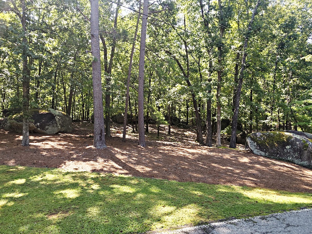
Everyone on this lake has their own name for the islands, sandbars, and hangout spots scattered across the water — half the fun is that nobody fully agrees on what to call any of them. One of our spots is at the back of Rock Hawk Park, where these enormous rock hills and formations come right down into the water. We’ve always just called it Paradise Cove. You won’t find that name on any map, and you won’t find it if you search for it online — it’s ours, the way every family on this lake seems to end up with a name for the spot that became theirs.
We’ve taken groups of boats down there more than a few times, rafted up together right off the rocks, everyone tied off side by side. The kids climb up and explore the rock formations while the parents stay back on the boats or just float in the water below, half watching, half not. It’s quiet down there in a way that’s hard to find on the busier parts of the lake — no real development, just rock, water, and trees right up to Rock Hawk’s wooded edge.
I bring this up because it says something true about Lake Oconee that no listing photo ever quite captures: it’s not just the home you buy, it’s the version of the lake your family ends up claiming for yourselves. Everyone who’s lived here long enough has a Paradise Cove or a Redneck Island or a Landbar of their own. Part of what I love about helping people find their place here is knowing they’ll eventually find theirs too.
How These Neighborhood Guides Are Researched
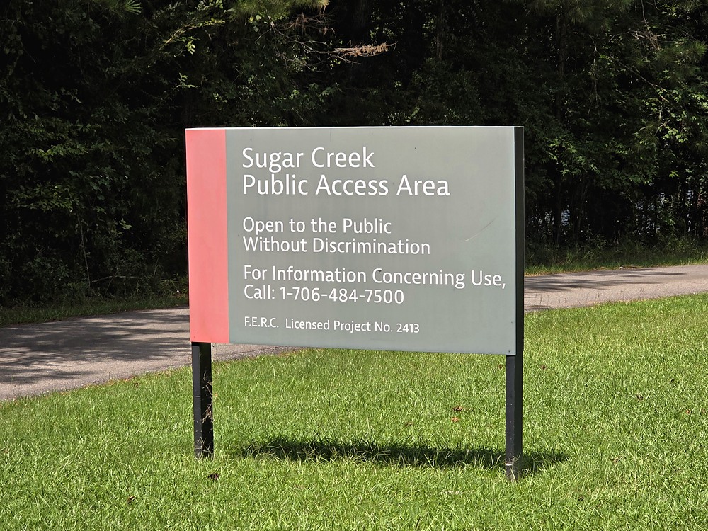
Each community listed above gets its own page, built from the ground rather than from a database. That means driving every road in the subdivision, photographing the entrance and whatever amenities exist, and checking market records for build dates, HOA status and what has actually sold. Where a homeowners association publishes its own dues or rules, I use their numbers rather than a listing summary.
The photography on these pages is original and taken on site. It is also why the detail runs deeper than a typical neighborhood description — the covered structures along Big Bass Street, the members-only sign at the amenity area, the marshy head of a cove that certain lots look out over. Those are things you notice standing there, not things you find in a feed.
Where a place has a real drawback, these pages say so. Dues that vary depending on which section a lot sits in, townhomes that need updating, a water view that is wetland rather than open lake. A guide that says every neighborhood is beautiful is not much of a guide.
Lake Oconee Homes in Eatonton: Frequently Asked Questions
Where is the western shore of Lake Oconee in Putnam County?
This corridor covers a large expanse of Lake Oconee on the Putnam County side, running from Sugar Creek in the north south to Wards Chapel and Wallace Dam. It includes both the deeper southern communities near the dam and the more open, wide water to the north toward Sugar Creek and Parks Mill Road.
Is the water deeper and clearer on the Putnam County side of Lake Oconee?
Yes, particularly in the southern stretch from Spivey Road south. Because this area sits nearest the dam, the water runs deeper and clearer than in many other parts of the lake. Lake Oconee averages 21 feet deep but plunges to more than 100 feet near the dam itself.
Are short-term rentals allowed on the Putnam County side of Lake Oconee?
Most properties in this corridor sit within R-1 zoning, which is similar in concept to the LR1 zoning on Greene County’s eastern shore but with one major practical difference: short-term rentals are currently allowed here, subject to Putnam County’s specific rules and permitting requirements.
Are these Lake Oconee subdivisions gated?
It varies. Waters Edge and Chapel Springs in the south and Harmony Bay in the north are gated, while most other neighborhoods in this corridor are open, non-gated communities.
What is Jumping Rock on Lake Oconee?
Jumping Rock is a roughly 10-foot rock formation suspended over the lake at the bottom tip of the Reynolds Lake Oconee peninsula, and one of the most recognized recreational landmarks on Lake Oconee. Many communities along this western shore look directly across the water at it.
Nearby & Related Reading
For buyers comparing this deep-water western shore against other parts of the lake, see the Richland & White Plains guide for the eastern, non-gated corridor, or the Lake Oconee Homes Near Shopping & Dining guide for the most convenient stretch near Publix and the Highway 44 bridge.
Looking for Deep, Clear Water at Lake Oconee?
If water quality and proximity to Jumping Rock matter to how you want to live on the lake, this corridor deserves serious consideration. The Lake Oconee Buyer’s Guide covers how these communities compare to the rest of the market, the Seller’s Guide covers what to do if you already own here, and Why Is Lake Oconee So Expensive? explains what actually sets a price on this lake side by side. Or reach out directly — I can walk you through which of these neighborhoods actually fits how you want to live.